GDX scripting tool
The Geodynamix toolbox is a catalogue of geo-spatial functionalities allowing to perform complex spatial operations on geospatial data. The GeoDynamiX scripting tool, or GDX scripting tool for short, is a "map algebra" tool developed to facilitate working with these functionalities. The GDX scripting tool is used by VITO and its customers to carry out complex spatial calculations in a computationally efficient manner.
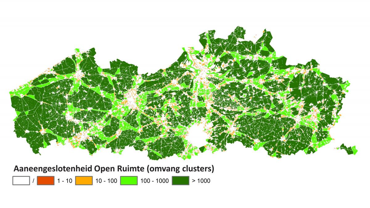
For example, the GDX scripting tool contains functionalities to quickly identify clusters of adjacent raster cells that meet a certain set of conditions. This functionality is used, among other things, to map the degree of fragmentation in Flanders.
spatial data
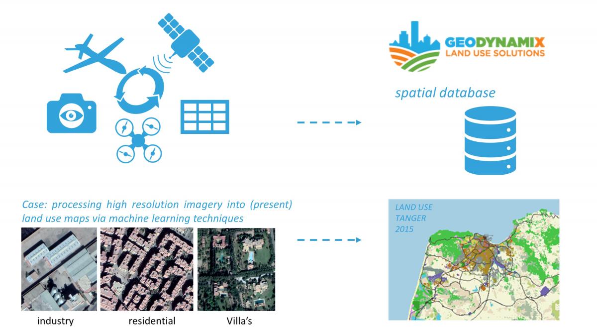
The GDX scripting tool is able to deal with both vector and raster data. Based on the complexity of the problem, the data is stored and preprocessed in a spatial database in order to allow easy access and efficient calculations.
(Spatial) data is gathered in function of the studied challenges. In-situ data accurately and up to date represent local land use related aspects. Both in-situ data and open source data e.g. from local (high resolution commercial imagery) to global (low resolution) remote sensing images can be processed and combined with each other to ensure a solid database on which spatial analyses are built.
The database can cover a wide range of scales and resolutions, allowing to solve complex spatial problems both at the level of individual locations, buildings or persons as well as the regional or even national and global level.