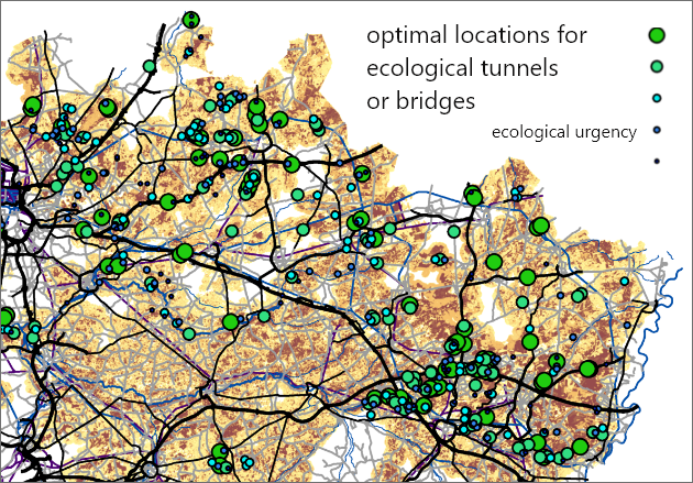
The Optimization Tool identifies the most optimal location(s) for land use related elements. Spatial optimization problems can involve a multitude of interlinked and often competing aspects and interests. The tool considers all competing factors and makes a trade-off based on a list of spatial requirements.
The tool calls upon a library of optimization algorithms. According to the complexity and characteristics of the optimization problem, the most suitable and efficient algorithms are selected and deployed.
The tool processes a large area, or a large number of raster cells, simultaneously.
The Optimization Tool can use a large set of spatial criteria to test the suitability of listed solutions according to a number of evaluation criteria. Typically, spatial criteria are entered as maps or are calculated during the optimization iterations using the GDX scripting tool.
These features make the Optimisation Tool suitable for supporting participatory processes, where potentially competing interests of different stakeholders need to be reconciled. Based on the different spatial needs of stakeholders involved, the Optimisation Tool calculates the best feasible solutions, or in other words solutions that take into account different opinions.

