Flanders is a water-scarce region. Yet much usable water still remains unused. It is discharged into rivers, or drained into the sea via the sewer system. This while households, agriculture and industry are longing for alternative water sources.
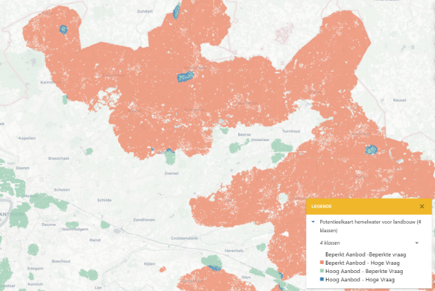
To answer this question, the WaterAtlas was developed. The WaterAtlas is an interactive map catalogue that identifies the potential of alternative water sources for various applications. Demand and supply (m³) per year are estimated for each type of water source and application.
The WaterAtlas makes water demand and supply maps publicly available to end users such as governments, companies, research institutes, sector organisations and study agencies. Thus, the tool very concretely identifies the potential for more local and sustainable water exchanges!
The WaterAtlas is a tool developed within the Flanders WaterProof project, carried out by VITO on behalf of the Flemish government.
Commissioned by: Flemish Government
2022-2023

