Future land use in Flanders is becoming increasingly uncertain, as pressures on open space continue to grow. Nature areas, farmland and water systems all face challenges from urban expansion, climate change and shifting economic models. To help policymakers and citizens understand these complex dynamics, the Flemish Department of Environment commissioned a project to explore potential long‑term scenarios for the region’s open space.
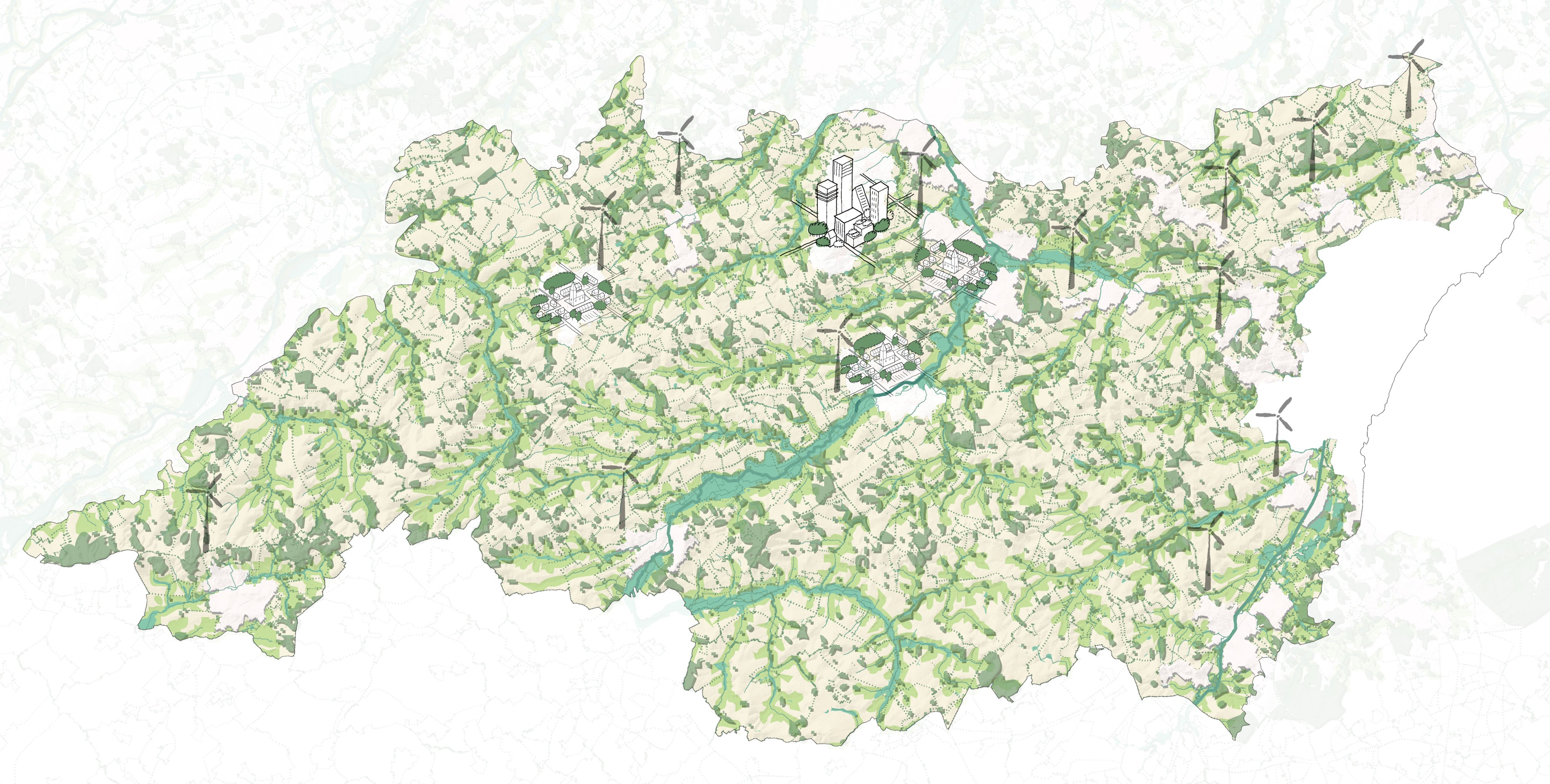
To make these future scenarios easier to understand, the project team developed a shared visual language. VITO and consultancy OMGEVING created causal loop diagrams, maps, axonometric views and illustrations that show how different forces interact in each scenario. Through workshops and continuous refinement, these visuals were designed to make the scenarios clearer, more engaging and more useful for decision-making.
These visual tools help spark discussion, but the project also shows that visuals alone cannot capture the full complexity of future land use. Quantitative modelling will be essential to deepen the insights, and similar work is needed for the built environment, which is closely linked to open space. VITO contributes its system analysis and modelling expertise to ensure that the visuals are grounded in scientific understanding and support informed choices about the future of Flanders.