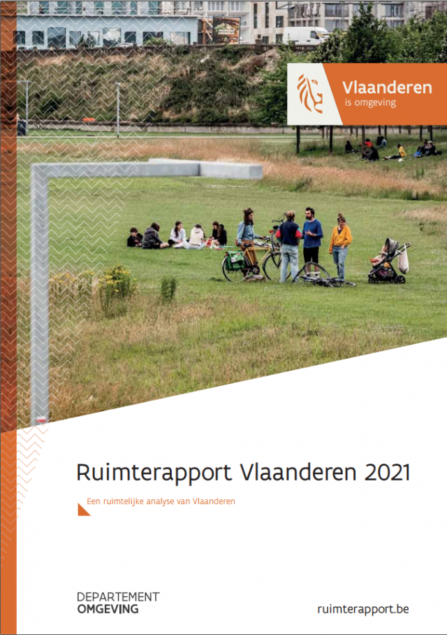
Within the Flemish government, the Flemish Environmental Planning Bureau is in charge of developing and publishing a Spatial Report for Flanders (Ruimterapport – in short RURA). The RURA is a comprehensive reference work on the Flemish territory in maps, images and text. This report describes and analyzes the state of the territory and the past and present trends on the basis of the most recent and relevant knowledge and datasets.
VITO supports the Flemish government in coordinating the writing process and provided a number of maps, figures and analyses published in the ‘Ruimterapport’.
Want to know more? Read the Spatial Report
Commissioned by: Flemish government, department Environment
2017-2022

