One of the guiding principles of the Spatial Policy Plan for Flanders (BRV) is to achieve no net land take by 2040. Since 2019, HOGENT is investigating the spatial and financial consequences of this policy goal.
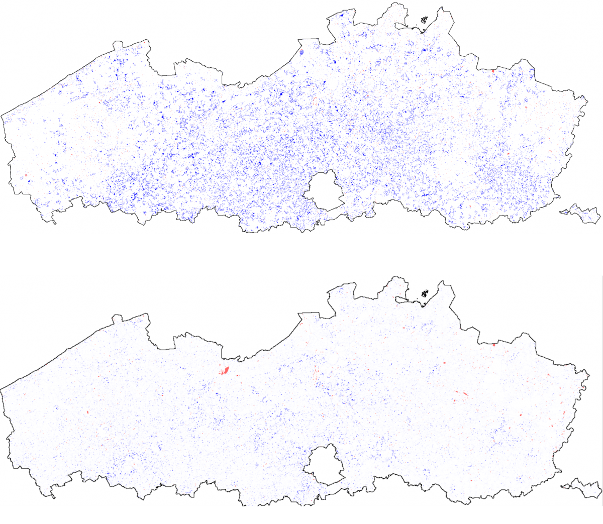
Their project involves the historical situation since the 1960s, the current situation of settlement area compared to the designated zones for urban development and possible future development of the settlement area in Flanders. VITO was assisting them in this last topic by using the RuimteModel Vlaanderen for simulating two scenarios:
- a growth-as-usual (GAU) scenario in which the observed evolution of the settlement area from the last decades was extrapolated towards 2040;
- a BRV-scenario in which the current trend of land take was brought to 0 by 2040 in accordance with the (spatial) principles described in the Spatial Policy Plan.
The results of the scenarios show that more than 20.000ha of open space in Flanders could be safeguarded from further land take by adopting the net Spatial Policy plan. This leads to a relative small increase of the densities in the best situated urban centers. The results further show that it is possible to remove a part of the zones that are designated for urban development without loosing the necessary potential for future urban development.
Funded by VITO
With HOGENT
2019-2023