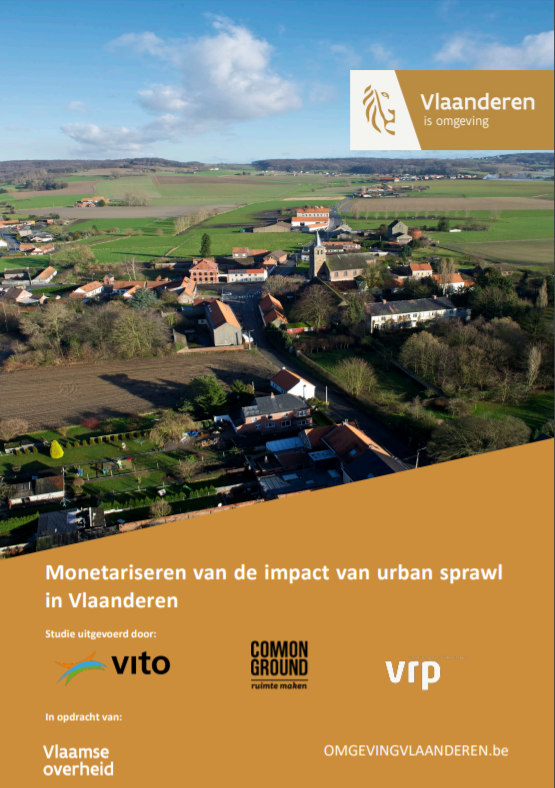
Does the traditional Flemish scattered building pattern entail increased costs? And what if we drastically change our spatial footprint?
This "urban sprawl" study identifies different building typologies in Flanders and calculates its social costs regarding mobility, infrastructure and loss of open space. Alternative land use scenarios explore the potential gains of realizing a land take-neutral scenario by 2050. The results are essential to underpin the Flanders Spatial Policy Plan.
Commissioned by: Flemish government, department Environment
2017-2019

