Policy makers are constantly looking for tools and data to elaborate the Spatial Planning strategies of into specific policy frameworks and actions.
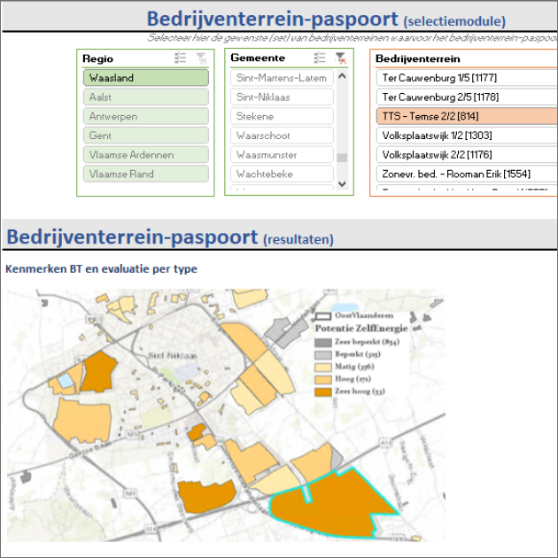
VITO developed a spatial evaluation tool that analyzes the (location of) industrial areas based on spatial indicators and classifies each industrial according to their (spatial) development possibilities (for example as an energy-hub). In function of the specific project, results are evaluated using spatial indicators e.g. quantifying the strengths, weaknesses, opportunities and threats to meet a specific development opportunity for each industrial area.
Based on the result, the policymaker will gain insight in the possibilities and limitations to strategically use of industrial areas to achieve a more sustainable use of the available space. Subsequently, the necessary spatial measures can be identified and translated into policy frameworks and actions. The policy instrument is also an important means of communication during participatory processes with partners and stakeholders to discuss spatial planning.
Applied for Oost-Vlaanderen, commissioned by the province Oost-Vlaanderen (2020)

